

Effective beginning 5/20/2025: Please note this site is under review and content may change.
Even when data is at your fingertips it can sometimes still be hard to find what you're looking for – especially when it comes to climate information.
USDA’s Climate Hubs and Natural Resources Conservation Service (NRCS) are helping to meet that need by providing Climate Quick Reference Guides for agricultural producers and landowners seeking basic and easily usable climate information.
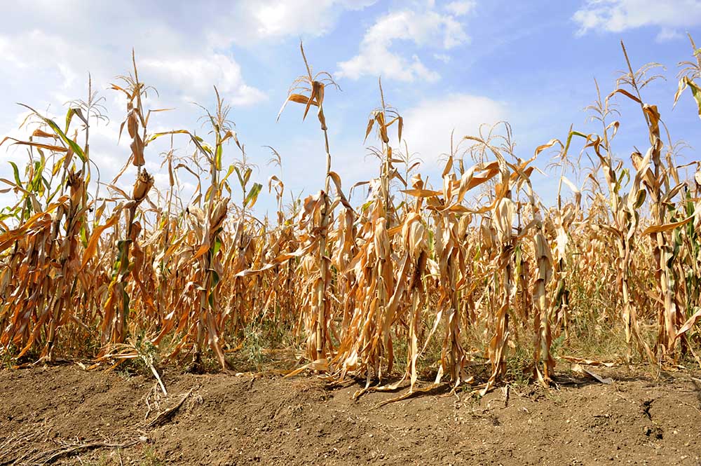
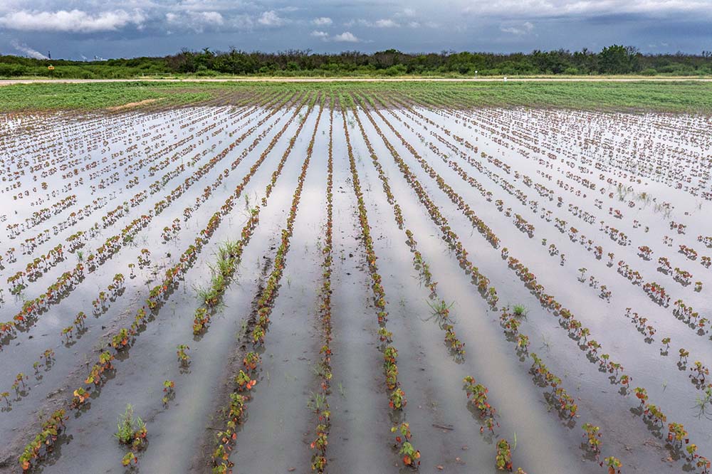
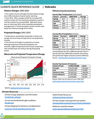
The Climate Quick Reference Guides, which first published in July 2022 and were updated in August 2023, are now available on farmers.gov. They offer a simple way for users to view historic and projected weather and climate change information at the state and county levels. The easy-to-use guides show key data changes in climate most impactful to agricultural production in the local areas including max temperatures and precipitation amounts by season.
Guides are available for almost every county nationwide following a two-year effort by the Climate Hubs and NRCS.
“As federal investments in mitigating and adapting to the effects of climate change continue to be a priority, so too must our collective understanding of the current science and information,” said National Climate Hub Lead Lynn Knight. “Providing easy to digest and synthesized information for producers, federal employees, partners, teachers, agricultural professionals – really anyone with an interest in our climate – is a goal of the USDA Climate Hubs.”
Those interested in using the guides can access their state-level data by clicking on their state or searching for it by name. If they are interested in accessing county level, they must first select a state and then click the “view counties” button before either searching for the county by name or selecting it on the map. The requested data can then be viewed by clicking the “get guide” button.
The Climate Quick Reference Guides can be especially useful when NRCS conservationists are working with farmers, ranchers and private forest landowners to address natural resource concerns on their land and implement climate-smart agriculture and forestry activities. The guides use layers of science-based maps and graphs to show temperature, precipitation and even crop loss data. The data can in turn help the public make informed decisions for their farms, ranches, or forest lands.
The Climate Hubs are a collaboration of USDA agencies that deliver science-based tools that enable climate-informed decision-making by USDA agencies and their partners. The Climate Hubs celebrated their 10-year anniversary in February, honoring a decade of helping farmers, ranchers, forest landowners and communities address the threats of climate change. They are led and hosted by the Agricultural Research Service and Forest Service located at 10 regional locations, with contributions from many agencies including NRCS, the Farm Service Agency, and the Risk Management Agency.
Emile Elias is with the USDA Agricultural Service and serves as the director of the Southwest Climate Hub. She can be reached at emile.elias@usda.gov.


 Loans and Grants
 Disaster Planning and Assistance
 Conservation
 Ag Business
 Farm Life